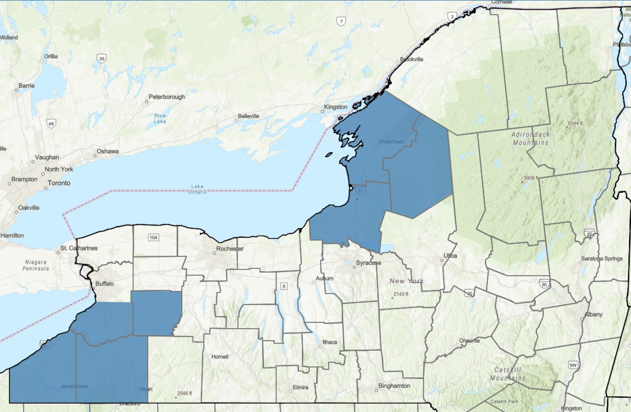
Update: The weather service has expanded the winter storm watch area to include Onondaga, Oneida and Madison counties.
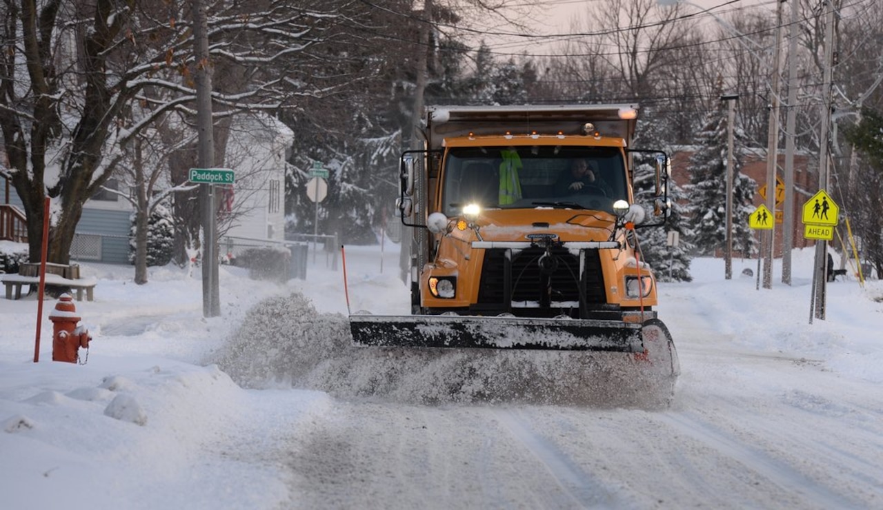
Syracuse, N.Y. -- Heavy lake effect snow and strong winds could make for hazardous driving during the Thanksgiving Day travel period in Upstate New York.
Cold winds from the west are expected to blow across the Great Lakes Wednesday night through Friday, generating lake effect snow and leading to low visibility on the roads.
The National Weather Service has already issued winter storm watches for counties at the east ends of Lake Erie and Lake Ontario. More than a dozen counties from Western New York to the Mohawk Valley are under a lesser hazardous weather outlook alert.
“Whiteout conditions are possible and may make travel treacherous and potentially life-threatening,“ said the winter storm watch. “Plan on slippery road conditions. The hazardous conditions could impact the busy Thanksgiving holiday travel period.”
Up to 7 inches of snow could fall amid 40 mph winds, the weather service said.
The impact of the storm appears to be less for the Finger Lakes and Central New York, but that could change in the next few days. Lake effect snow bands are often narrow and it’s difficult to predict even a few days ahead of time where they might hit.
“Lake effect snow potential continues to increase for Thursday through Friday night or early Saturday southeast of Lake Ontario,” said the weather service office in Binghamton. “Forecast confidence is moderate at this time range in regards to band placement, timing, and exact snowfall amounts.”
Check our weather page this week for updates as the storm details and forecasts become more solid.